A map-based overview before you start planning
The Netherlands is often described as small, flat, and easy to travel — but that description hides a lot of variety.
This page helps you understand how the country is laid out, how cities, landscapes, and regions relate to each other, and why places that seem close on a map can still feel very different once you’re there.
A small country with distinct regions
The Netherlands covers a relatively small area, but it is not uniform.
Broadly speaking, the country can be experienced as a set of regions shaped by:
🔸proximity to the sea
🔸rivers and reclaimed land
🔸historical development
🔸population density
These factors influence how places look, how busy they feel, and how people use space.
You’ll notice that regional character often matters more than distance alone.
Where cities are concentrated
Most large cities are located in the western and central part of the country, in an area often referred to as a metropolitan cluster rather than a single city region.
Here, cities developed close together, connected by trade, waterways, and later rail lines. As a result:
🔸urban areas feel dense and interconnected
🔸travel between major cities is relatively quick
🔸contrasts between cities are more cultural than geographical
This explains why visitors often combine several cities without feeling rushed.
Landscapes shaped by water
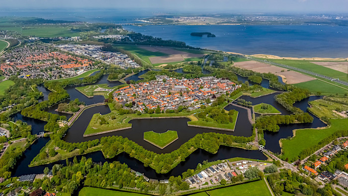
Much of the Netherlands exists because land was reclaimed and protected from water.
This has created:
🔸flat, open polder landscapes
🔸canals and waterways integrated into towns and fields
🔸villages and cities built around water control systems
Understanding this relationship between land and water helps explain:
🔸why the landscape feels open
🔸why towns often follow waterways
🔸why water is such a visible part of daily life
These landscapes are not separate from urban life — they sit directly next to it.
Coast, countryside, and quieter regions
Moving away from the main urban concentration, the Netherlands becomes noticeably quieter.
Along the coast, wide beaches and dune systems create open, wind-shaped landscapes.
In the east and north, forests, heathlands, and farming regions define a slower pace of life.
These areas often feel:
🔸more spacious
🔸less crowded
🔸more seasonal in character
They provide contrast rather than separation — a different side of the same country.
Distances vs. experience
On paper, distances in the Netherlands are short. In practice, how a place feels matters more than how far it is.
For example:
🔸a coastal town can feel very different from a nearby city
🔸a rural village may feel much farther removed than the map suggests
🔸landscapes can change quickly over short distances
Understanding this helps visitors avoid assuming that “close” always means “similar.”
How people live and move
Daily life in the Netherlands is shaped by:
🔸compact cities
🔸strong public transport networks
🔸widespread cycling
🔸shared public space
These patterns influence how places function and how visitors experience them.
Cities feel walkable, villages feel connected, and nature areas often sit close to populated areas.
This blend of density and accessibility is one of the defining characteristics of the country.
Things to Do in the Netherlands
Why this overview matters
Before choosing where to go or how to structure a visit, it helps to understand:
🔸where different types of places are located
🔸how regions contrast with each other
🔸why certain combinations feel natural
Once this broader picture is clear, more detailed exploration becomes easier and more intuitive — without relying on rigid plans.